From the rocks in the small cove at the western end of Mupe Rocks. This part of the Jurassic Coast is part of the land requisitioned by the MOD during World War 2 and access to this area is still restricted to certain times. The rocks are at the western end of the bay home to Mupe and Wordarrow Bays, Arish Mel and Worbarrow Tout
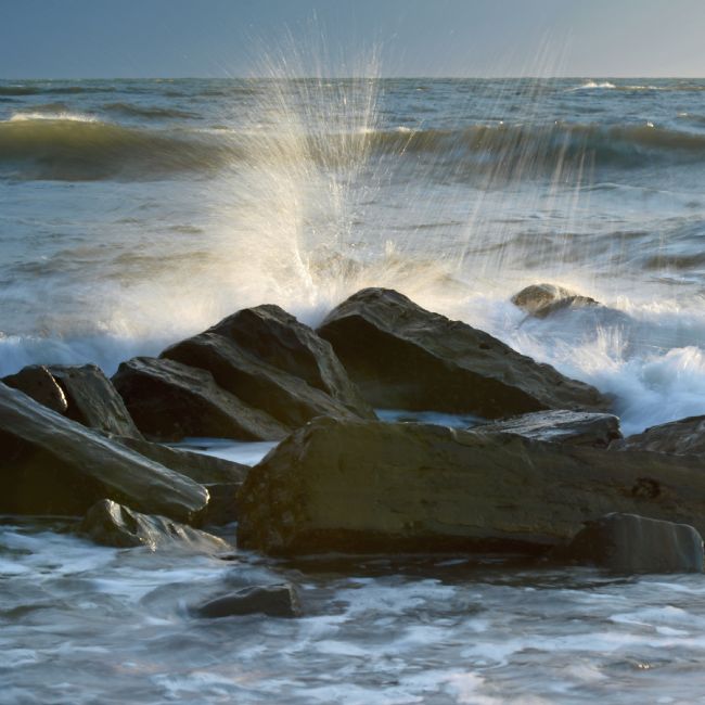
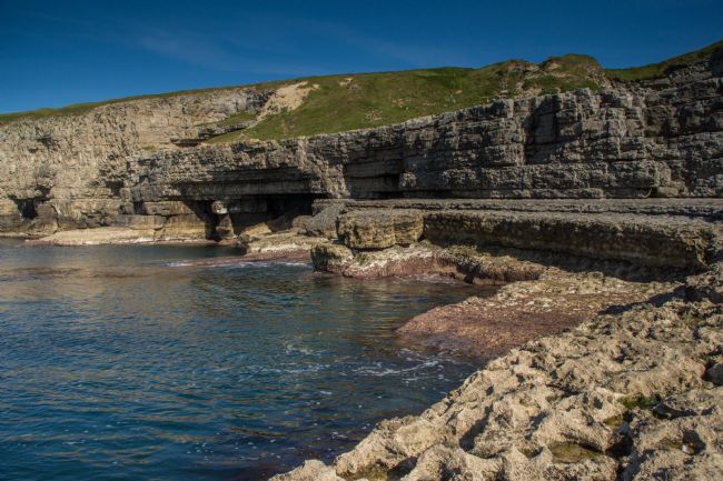
A wave breaks on some rocks near the ledges close to the entrance to Kimmeridge Bay
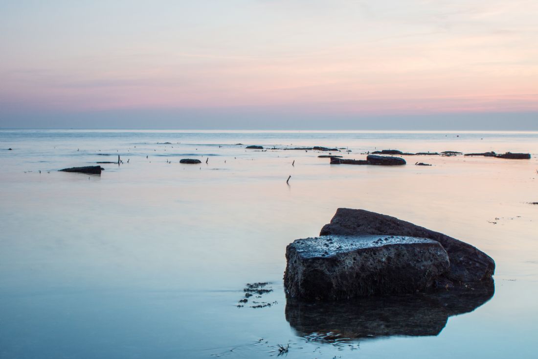
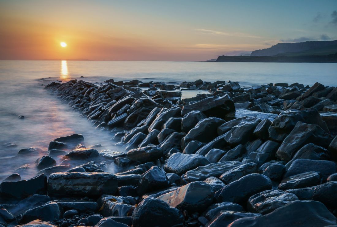
From the rocky ledges close to the entrance to Kimmeridge Bay a sunset view out to sea
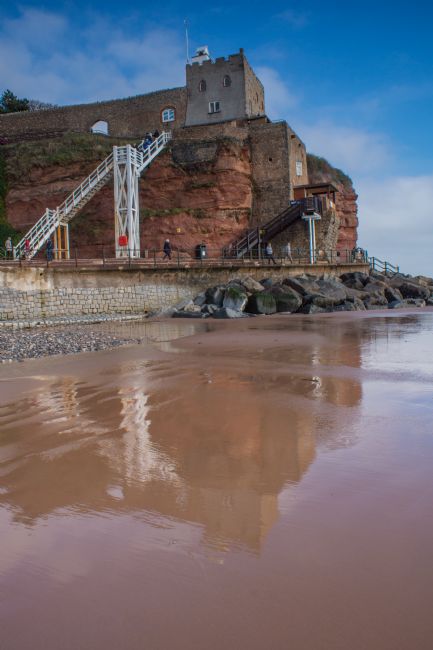
The famous red cliffs of the western end of the Jurassic Coast overlooking Jacobs Ladder Beach with the white steps, which give the beach its name, leading to Connaught Gardens
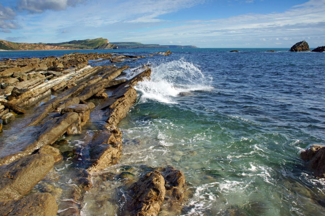
Low tide at Mupe Rocks on Dorset's Jurassic Coast. A small wave rolls against one of the ledges and rolls back on itself. In the distance Worbarrow Bay. This area was requisitioned by the MOD during World War 2 and access is still restricted
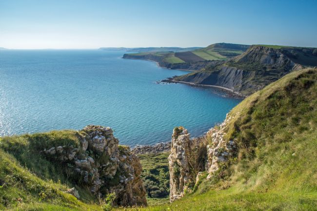
The view from Emmet Hill looking west over Chapmans Pool, past Egmont Point and Hons Tout, Rope Lake Head, Clavells Hard and Broad Bench. Further along the coast to Gad Cliff, Worbarrow and Mupe Bays as far as White Nothe as the haze at Ringstead Bay obscures the view to Weymouth
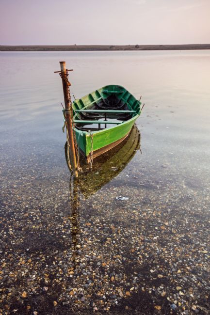
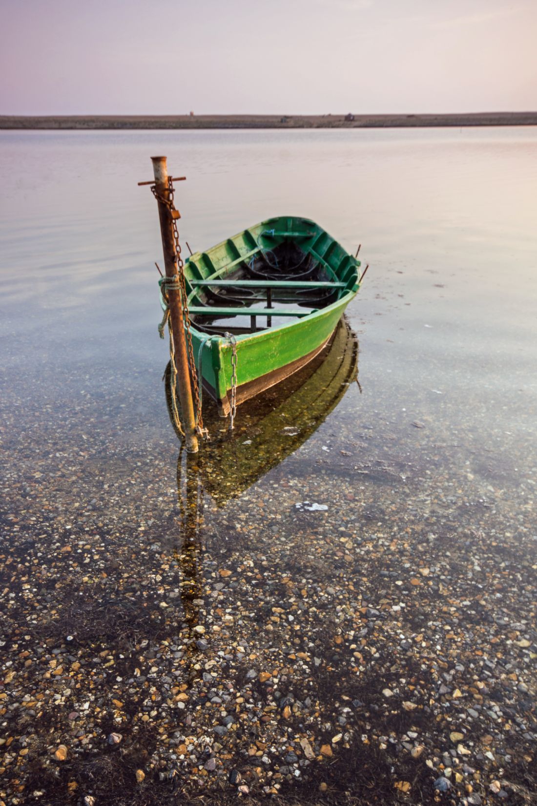
Behind the green boat is Fleet Lagoon and Chesil Bank. The 18 mile pebble and shingle bank was made a world heritage site in 1985.
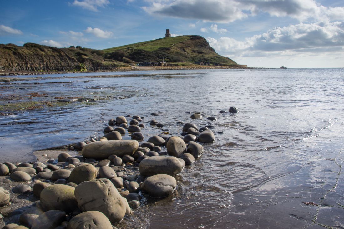
A dropping tide at Kimmeridge begins to expose some of the rocks on the ledges in the bay at Kimmeridge. The folly, Clavell's Tower stands on the clifftop
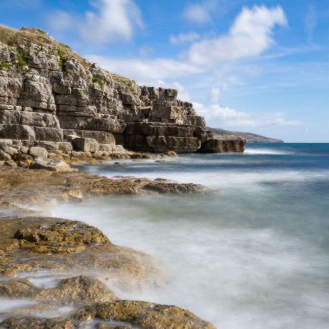
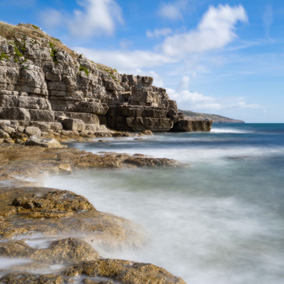
Part of the Jurassic Coast of Dorset, Dancing Ledge gets it's name from the effect the old quarry working have on the waves in the area as they rebound into an incoming wave.
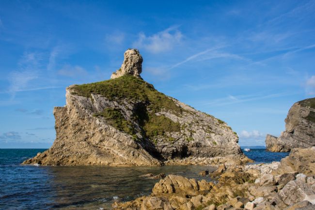
The rocks at Kimmeridge Bay known as Clavell's Pier captured at sunset with Portland just visible on the horizon
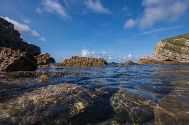
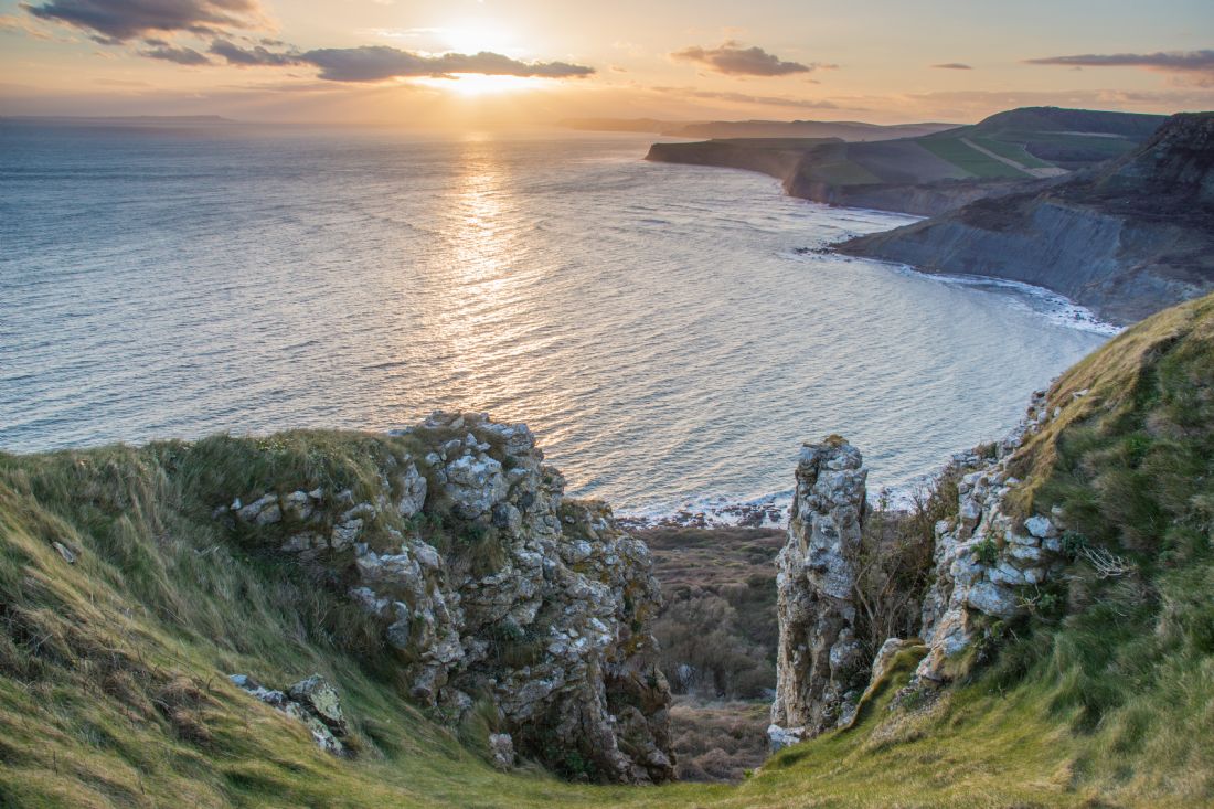
The first of a west to east chain of rocks close to Mupe Bay. Mupe Bay lies just to the east of it's well known neighbour Lulworth Cove. It lies within an area requisitioned by the MOD in 1941 and access to this area is still controlled. Mupe bay is part of the Jurassic Coast and the South West Coast Path also passes through this area. Arish Mell and Worbarrow Bay complete the larger bay.
Emmets Hill, part of the Jurassic Coast, overlooks Chapmans Pool and this view into the sunset shows Portland Bill on the horizon.
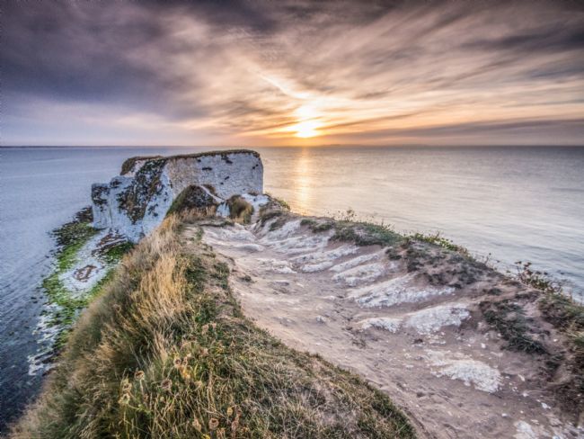
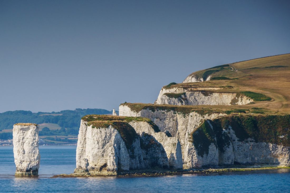
A midsummer sunrise over Old Harry Rocks at Handfast Point on Ballard Down. There are three formations in the group and they mark the eastern end of the south coast of England known as the Jurassic Coast
The white cliffs of Ballard Down, Handfast Point and the chalk sea stack known as Old Harry Rocks. These rocks mark the eastern end of a stretch of the south coast from Exmouth at its western end known as The Jurassic Coast. For those who have travelled the South West Coast Path from Minehead these stacks are the last major landmark they would pass as they close in on the eastern end of the path at the entrance to Poole Harbour some 6km away
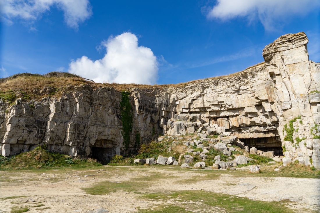
The cliff and rocks below at the north eastern end of the bay at Winspit. Winspit was a working quarry until around 1940. It is close to the village of Worth Matravers in Dorset. The South West Coast Path runs along the clifftop.
Winspit was a working quarry until around 1940. It is close to the village of Worth Matravers in Dorset. The caves are a result of the workings and have featured in several TV shows including Dr Who and Blakes 7. The site is popular with climbers too. The South West Coast Path runs along the top of the rockface.
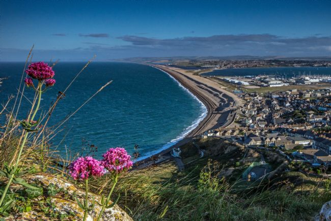
A view along the shingle bank that stretches from Portland to West Bay from Portland Heights overlooking Fortuneswell, Weymouth and Fleet Lagoon.
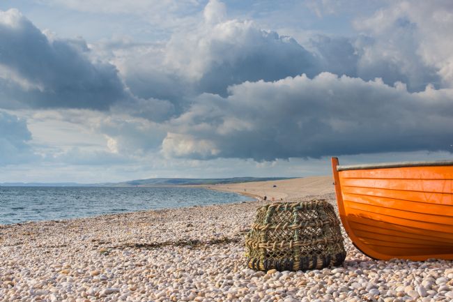
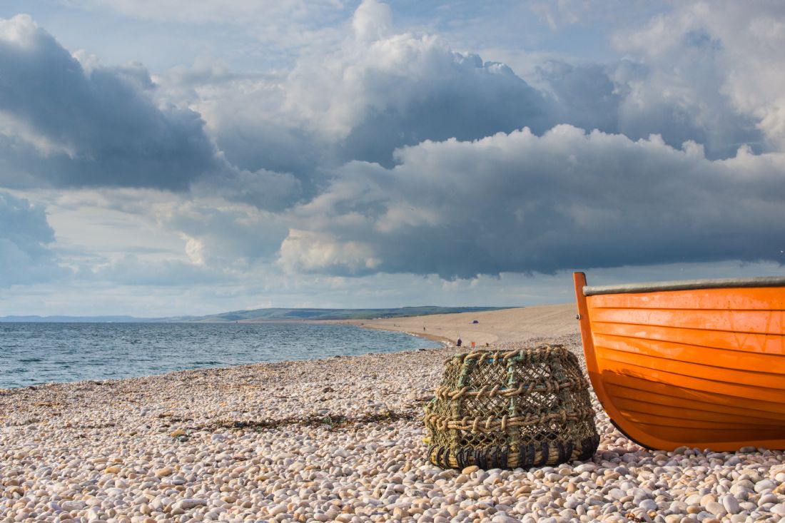
Chesil Beach is a shingle beach running 29 kilometres (18 miles) from West Bay to the Isle of Portland and in places is up to 15 metres high and 200 metres wide. A lobster pot, a much photographed boat and a moody sky make up this image
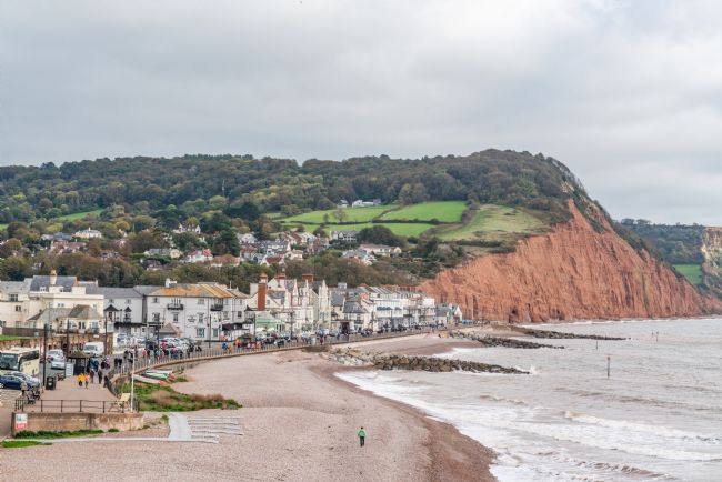
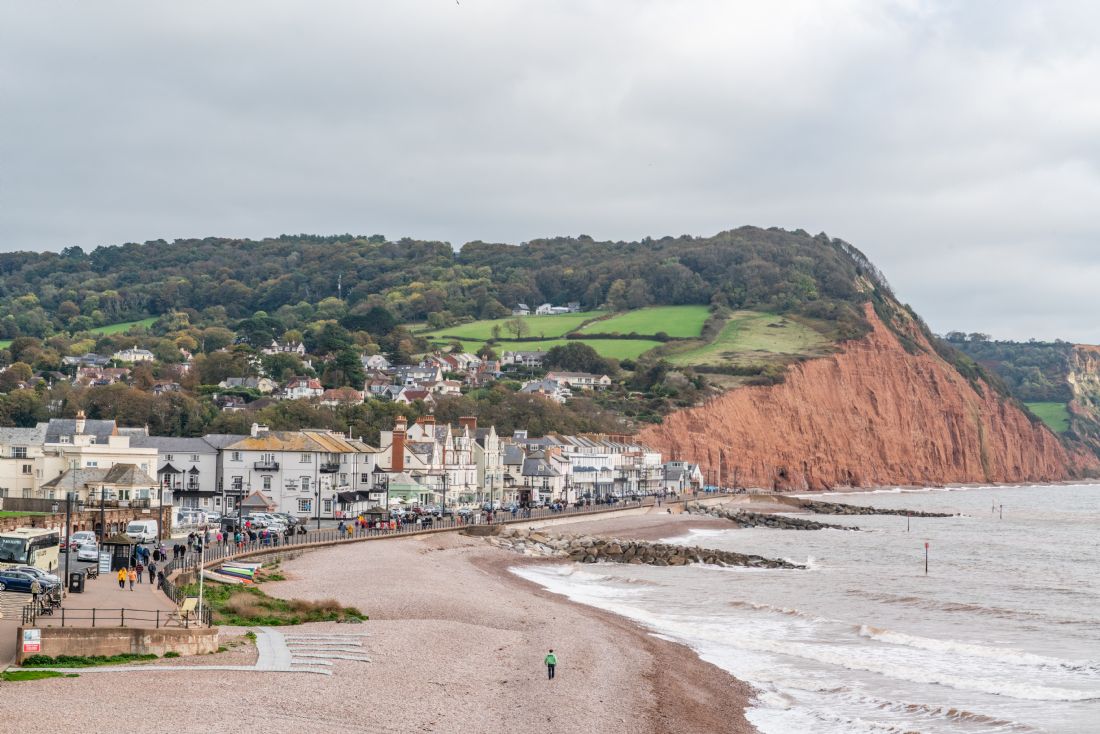
A look along the Sidmouth seafront from the viewpoint and on along the Jurassic coast eastwards.


